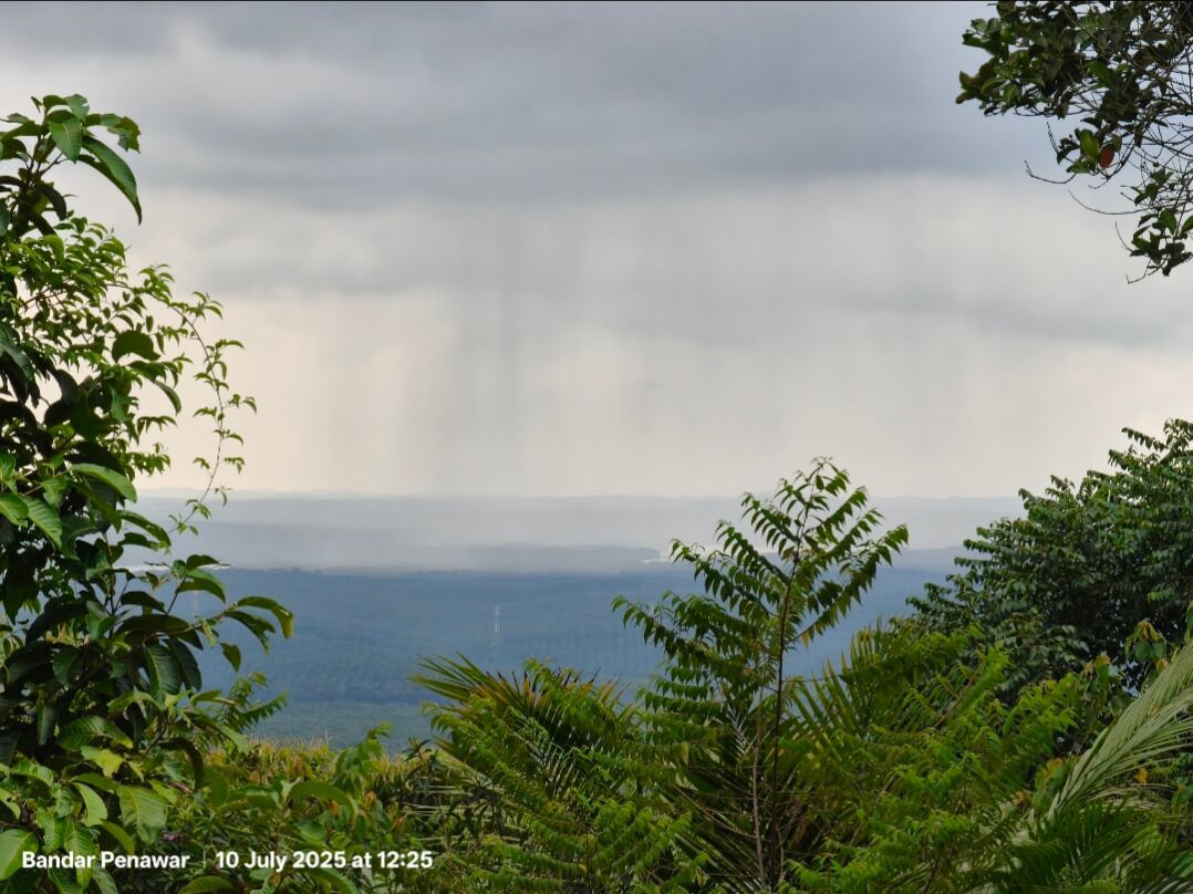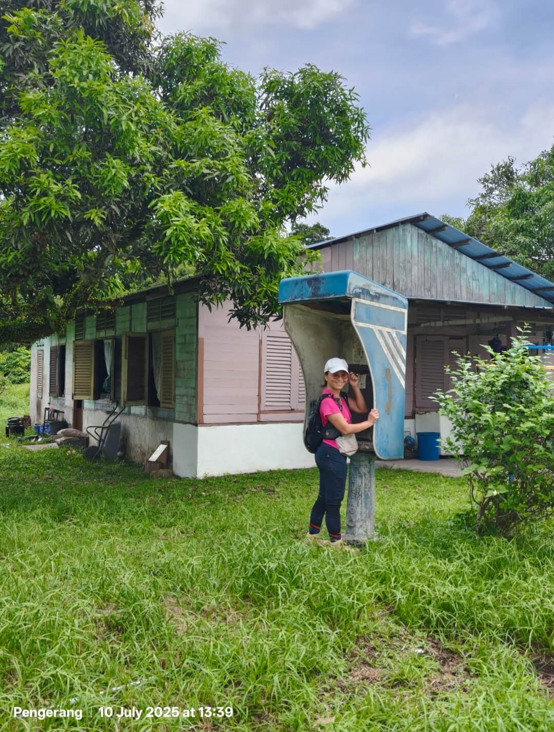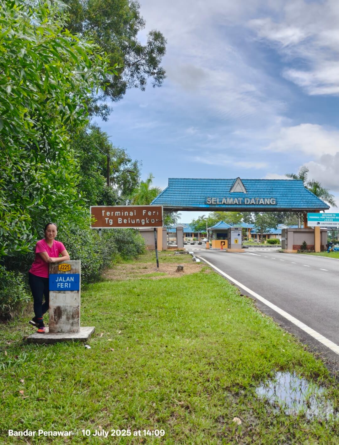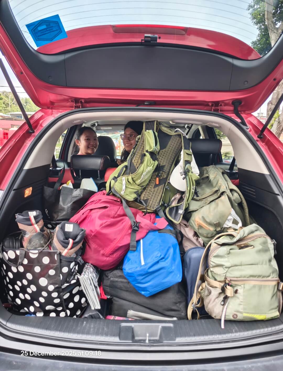
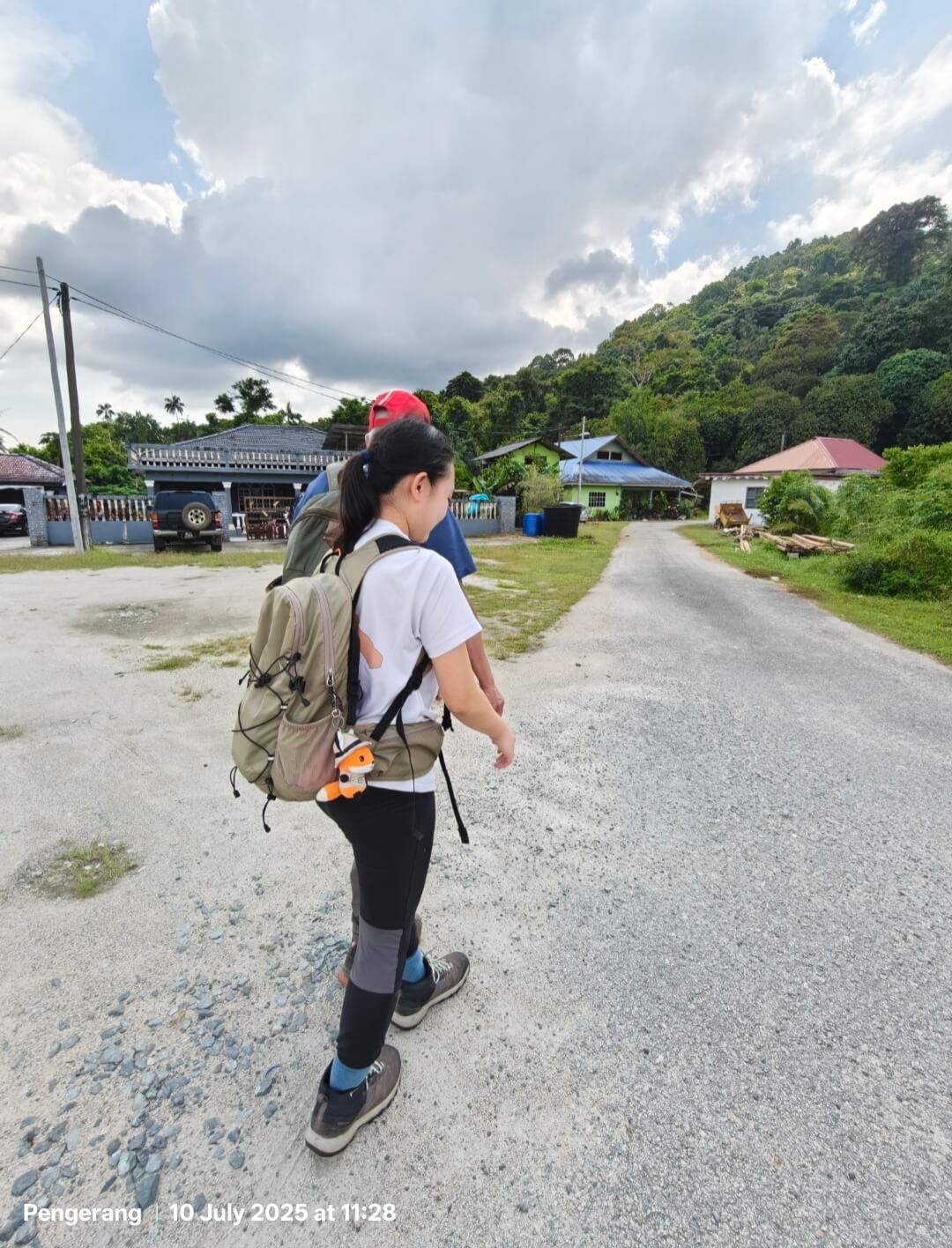
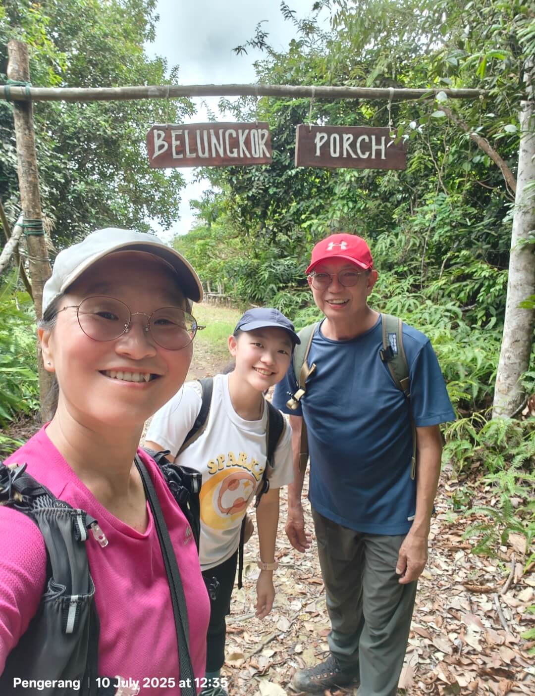
2 hours drive from Singapore, a bukit in Malaysia that we can see our own Pulau Tekong. Maybe even planes from Changi Airport. That’s what I read online .. The drive passes through Ulu Tiram and Bandar Penawar tolls, which looks quite different from the regular ones on the NS Highway. The trailhead can be found by searching “Bukit Belungkor trailhead”, which is at one of the kampongs in the area. I’m not sure if it’s private land, but the residents are friendly and pointed us in the direction towards the trailhead, they can tell from the way we are dressed. Trailhead is along a paved path, right after a house painted in bright green.
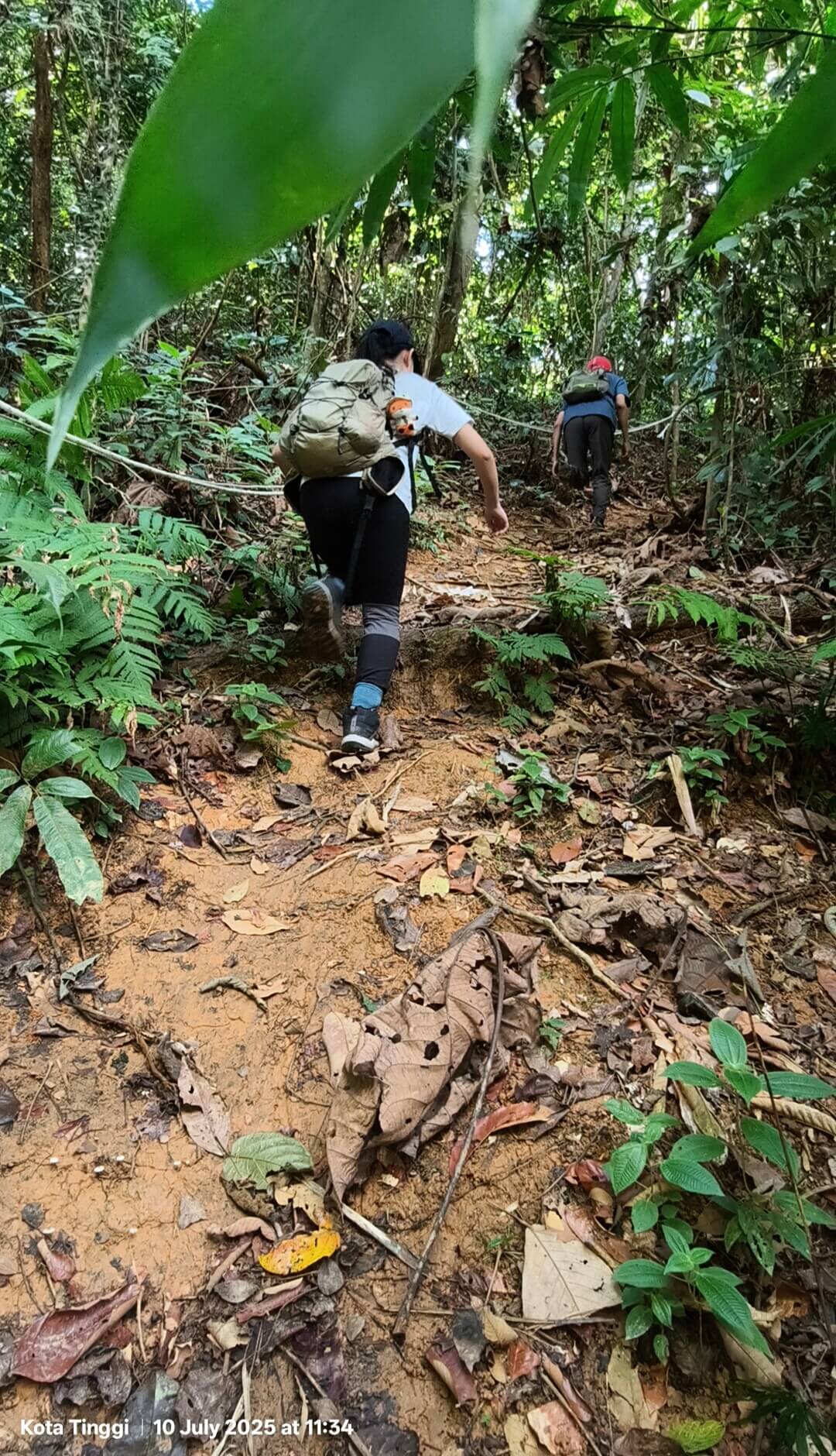
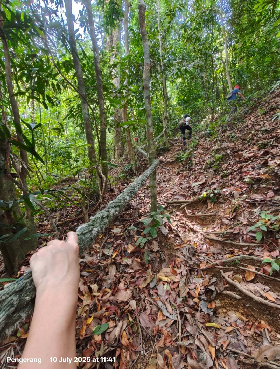
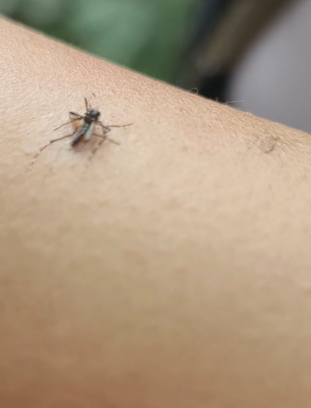
At 283m it doesn’t feel too bad. But the incline is quite steep, and does not seem to end till we are near the summit. You can hear us panting from the video clip! Trail is quite clear, with ropes at most sections. Army of mozzies reside in the hills too. All three of us were attacked!
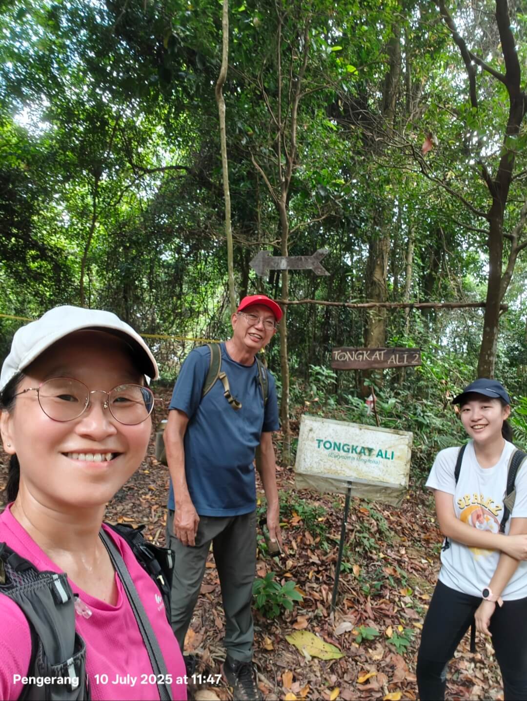
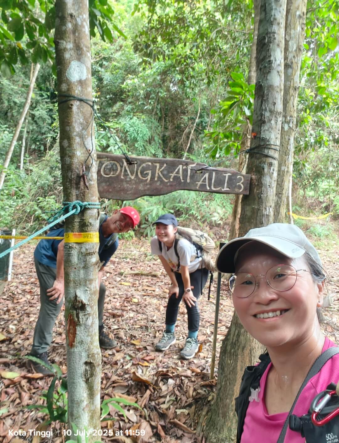
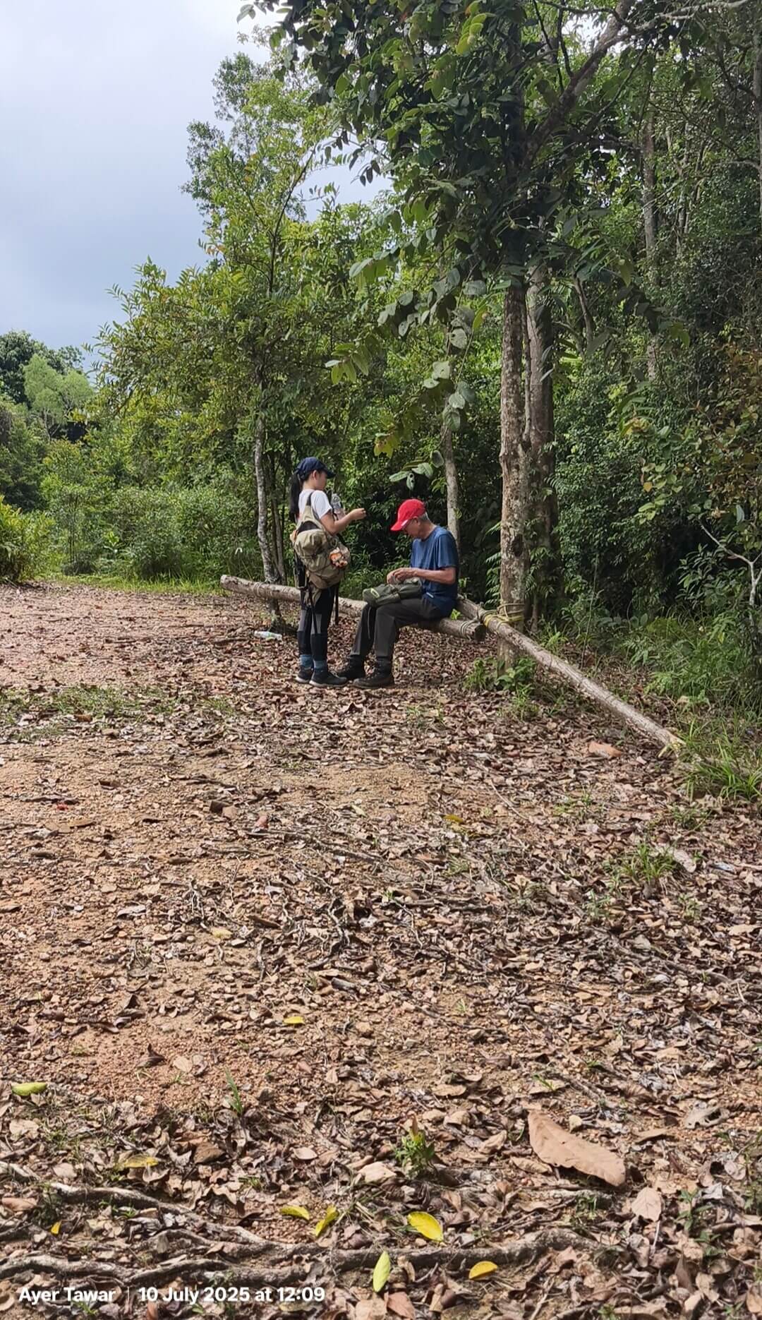
This post was written almost a year after the hike, I couldn’t remember all the details. There are 3 checkpoints – Tongkak Ali 1, 2 and 3. A view point and the summit, both are huge flat areas which I thought are good camp sites. Plenty of seats made out of logs too.
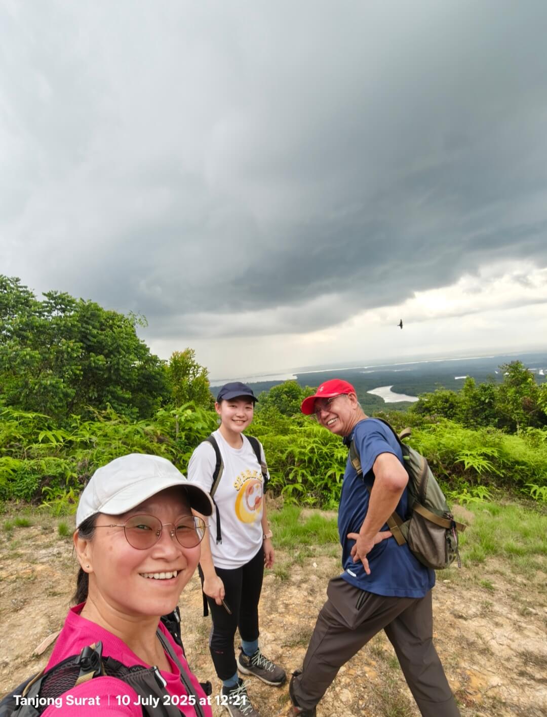
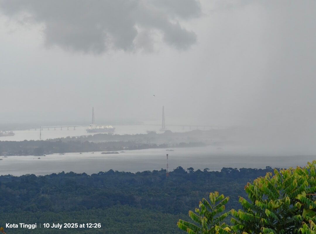
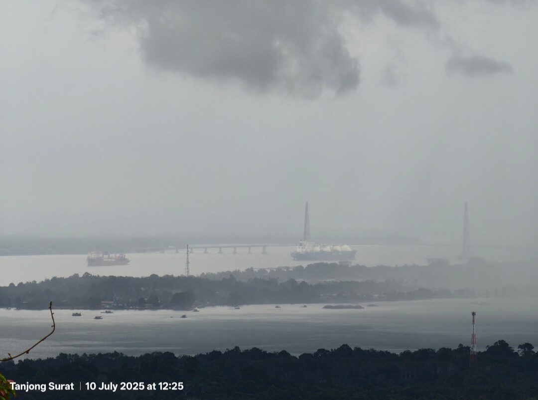
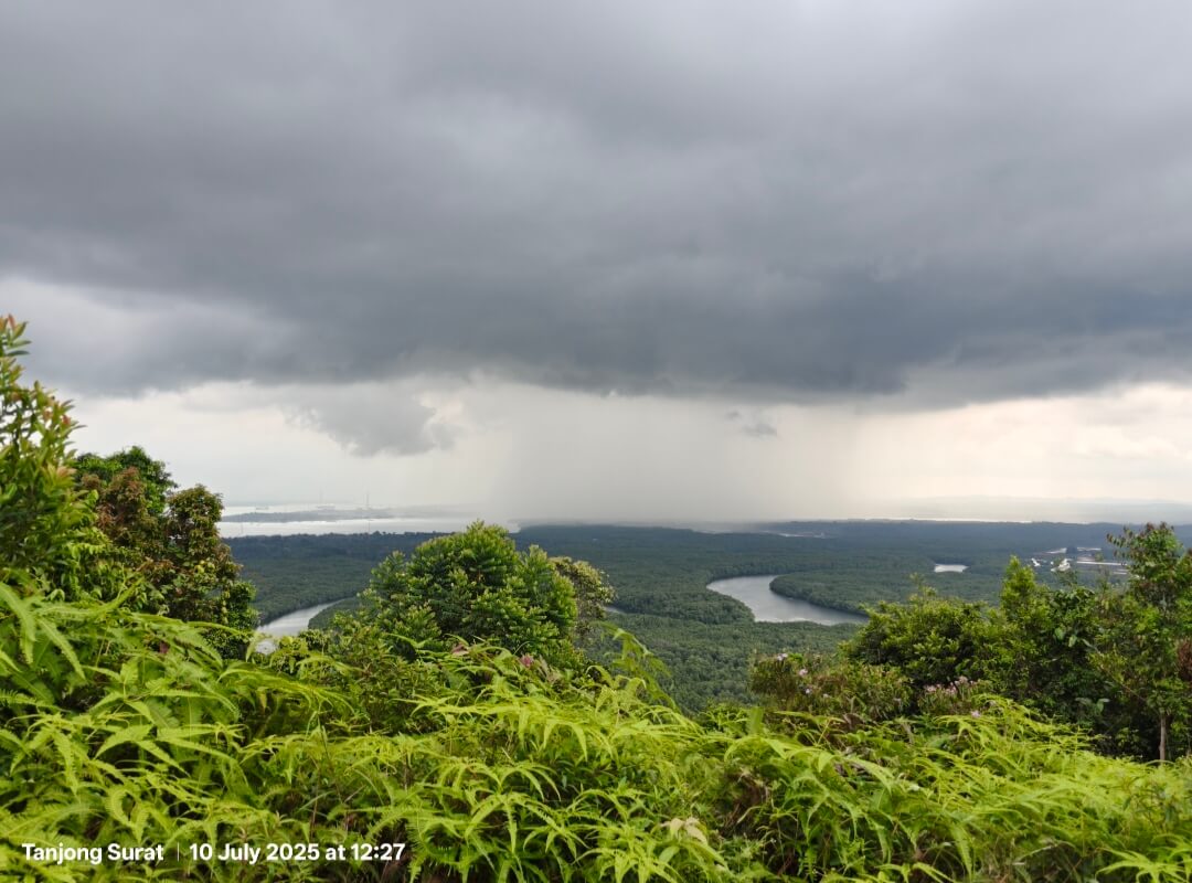
We wasn’t sure if we could see Pulau Tekong. It’s a very cloudy day when we reached the summit. Infact thick dark clouds were threatening rain. And it did! Fortunately we were able to get back down before the skies open! It’s a fun little hike. We took about 1 hour up and 1 hour down in total